Our Services
Delivering precision and reliability across the survey value chain.
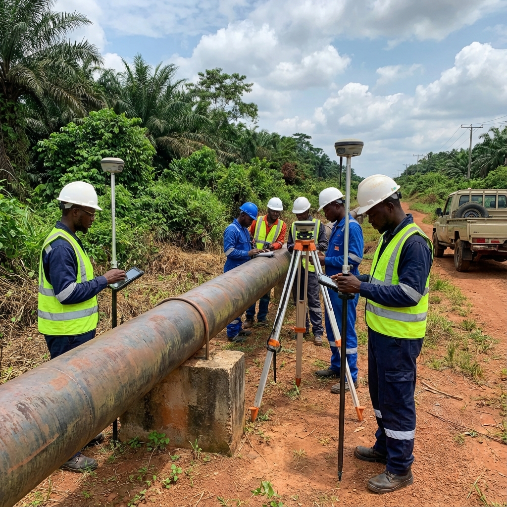
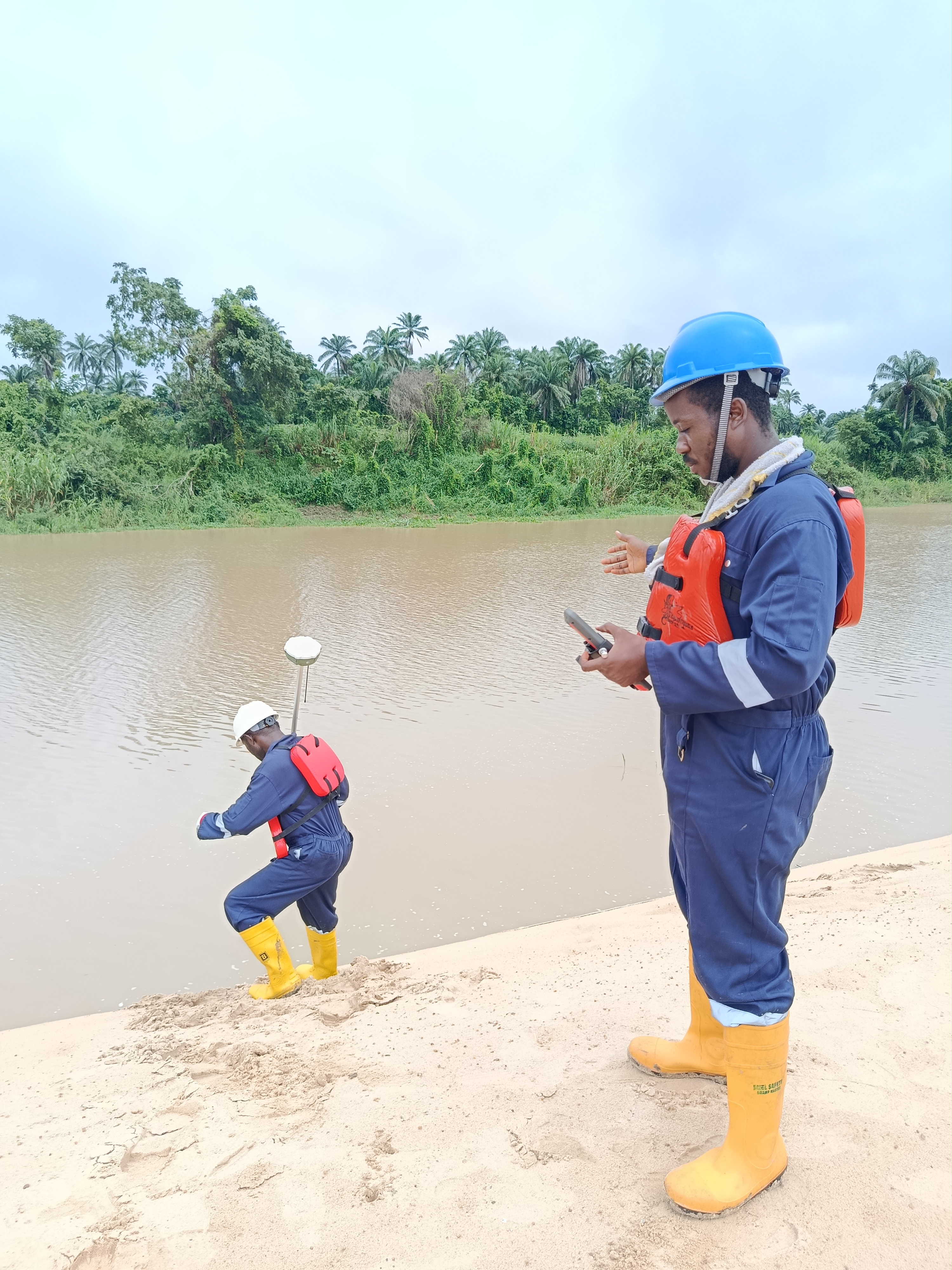
Engineering Survey and Mapping Services
Precise boundary definition, topographical surveys, route surveys, and legal documentation for property development, infrastructure planning, and land administration using the latest total stations and GNSS receivers.
Key Capabilities:
- Boundary Surveys
- Topographical Mapping
- Route Surveys
- As-Built Surveys
- Cadastral Documentation
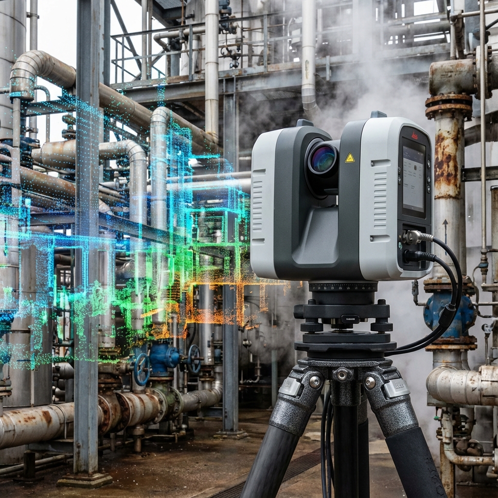
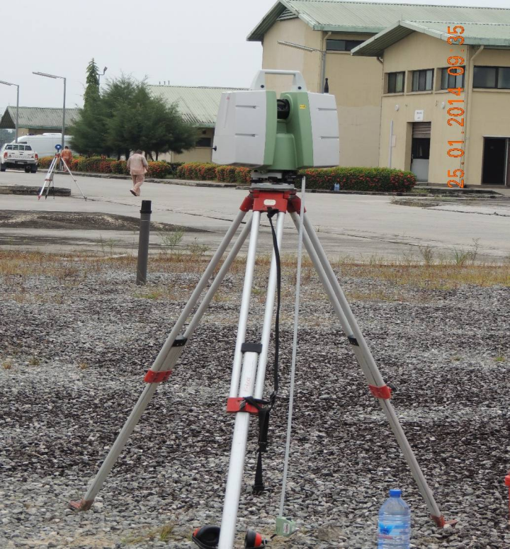
Laser Scanning Mapping and Modelling
High-accuracy 3D terrestrial laser scanning and aerial LiDAR mapping for facility modeling, tank scanning, and subsidence monitoring. We provide millimeter-level accuracy for critical engineering projects.
Key Capabilities:
- 3D Terrestrial Laser Scanning
- Aerial LiDAR (Drone)
- Facility Modeling
- Tank Scanning & Subsidence Monitoring
- Deformation Analysis
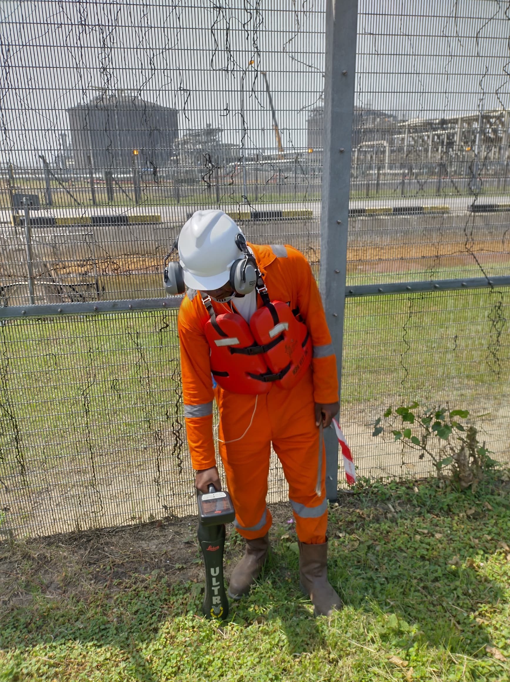
Geotechnical & Geophysical Survey
Comprehensive soil investigation services including CPT, SPT, and laboratory testing. Resistivity surveys and cathodic protection design for pipeline integrity.
Key Capabilities:
- Cone Penetration Test (CPT)
- Standard Penetration Test (SPT)
- Resistivity Surveys
- Seismic Surveys
- Soil Laboratory Testing
Bird Dogging / Body Shop Services / Personnel Supplies
Qualified personnel supplies for marine navigation, positioning, seismic, and survey operations. We provide skilled professionals on call-on-call-off basis for your projects.
Key Capabilities:
- Bird-Dogging Services
- Survey Personnel
- Marine Navigation Staff
- HSE Personnel
- Technical Specialists
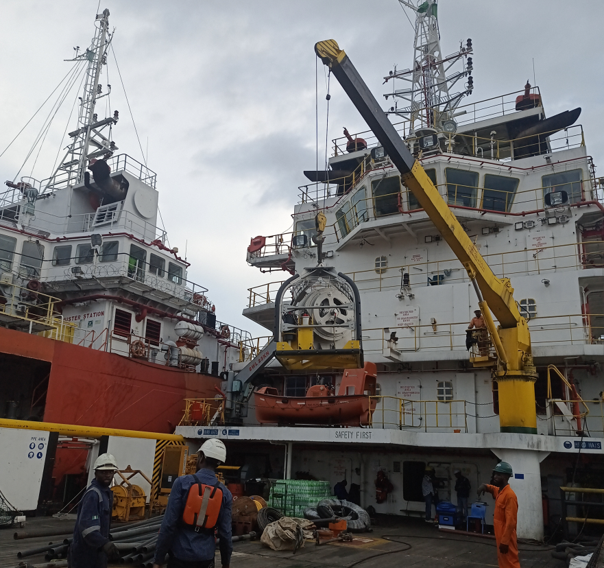
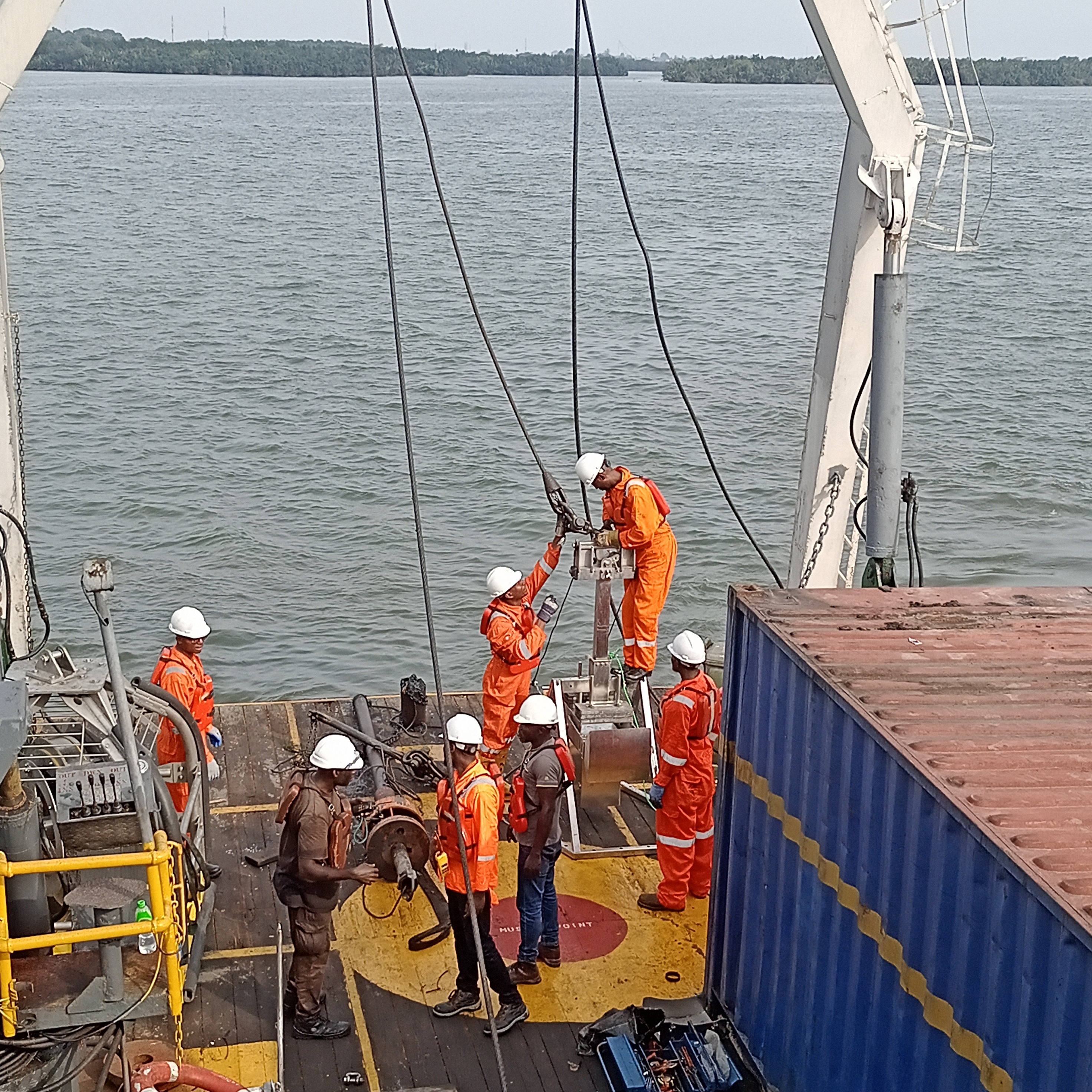
Bathymetric Surveys using Digital Echo Sounders interfaced to GPS
Specialized underwater mapping for river crossings, ports, and offshore construction. We utilize multi-beam echo sounders, side-scan sonar, and magnetometers for high-resolution bathymetric charts.
Key Capabilities:
- Multi-beam Bathymetric Surveys
- Side Scan Sonar
- Dredging Support
- River Crossing Surveys
- Tidal Observation
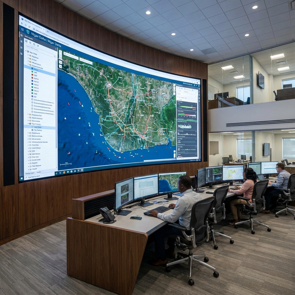
Remote Sensing and GIS Services
Integration of spatial data for asset management, digital mapping, and real-time positioning for offshore vessels and rigs. Primary positioning using GNSS for navigation and construction of barges.
Key Capabilities:
- Offshore Rig Positioning
- Barge Positioning
- Geodetic Control Networks
- Web GIS Portals
- Digital Mapping
Environmental Management Services
Environmental Impact Assessment support using GPS and GIS technologies. Comprehensive environmental monitoring and compliance services for oil and gas operations.
Key Capabilities:
- Environmental Impact Assessment
- Pollution Control
- Environmental Monitoring
- Compliance Auditing
- Remediation Support
Engineering Services
Comprehensive engineering support services for oil and gas infrastructure projects including design review, project management, and technical consultancy.
Key Capabilities:
- Design Review
- Project Management
- Technical Consultancy
- Infrastructure Planning
- Construction Support
Quality Control & Assurance
Comprehensive QC/QA services for marine surveys, positioning, and engineering projects ensuring data accuracy and regulatory compliance.
Key Capabilities:
- Marine Survey QC
- Positioning QC
- Data Validation
- Compliance Auditing
- Project Reporting
Equipment Leasing and Maintenance
Leasing of precision survey and geotechnical equipment with full maintenance support. We provide GPS/GNSS receivers, echo sounders, laser scanners, and drilling rigs.
Key Capabilities:
- Survey Equipment Leasing
- GPS/GNSS Equipment
- Echo Sounders
- Geotechnical Tools
- On-Site Maintenance