Geodetic Control & LiDAR
High-Accuracy Frameworks & 3D Scanning
Back to Services
Overview
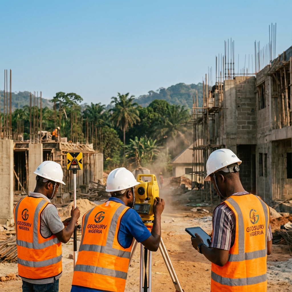
We establish the primary control networks that serve as the foundation for all subsequent survey and engineering work. Our static GPS observations are processed with scientific software to achieve first-order accuracy.
Additionally, our Terrestrial Laser Scanning (LiDAR) services allow us to capture millions of points per second, creating digital twins of complex industrial facilities.
Key Capabilities
Primary Geodetic Control Networks
Subsidence & Deformation Monitoring
3D Laser Scanning (Point Clouds)
Dimensional Control
Tank Calibration
Structural Monitoring