Hydrographic & Bathymetric Services
Mapping the Underwater Environment
Back to Services
Overview
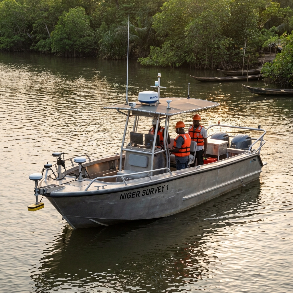
Our hydrographic division specializes in riverine and near-shore surveys across the Niger Delta. We utilize single-beam and multi-beam echo sounders to produce detailed bathymetric charts that support navigation, dredging, and underwater construction.
Safety is paramount in our marine operations. Our vessels are equipped with necessary safety gear and our crews are certified for offshore operations.
Key Capabilities
Bathymetric Charts & contouring
Dredging Support & Volume Computation
Sweeping / Pre & Post Dredge Surveys
River Crossing Surveys for Pipelines
Tidal Observation & Analysis
Port & Jetty Surveys